ACP Land Surveys
Comprehensive Surveying Solutions
At ACP Land Surveys, we bridge the gap between traditional engineering expertise and cutting-edge geospatial technology.
Get in TouchACP Land Surveys
Founded on over a 2 decade’s of hands-on experience within the construction industry, we provide surveying solutions tailored to meet the rigorous demands of modern developers, architects, and private clients.
We understand that in the construction world, time is the most valuable currency.
While larger firms often juggle multiple contracts leading to diluted focus and pushed deadlines
ACP Land Surveys operates on a client-first philosophy. We dedicate our full resources to one project at a time. This singular focus ensures that we not only meet your specific requirements but strictly adhere to agreed-upon delivery dates without compromising on precision.
So that means we agree a deliverable date and we stick to it
Comprehensive Surveying Solutions
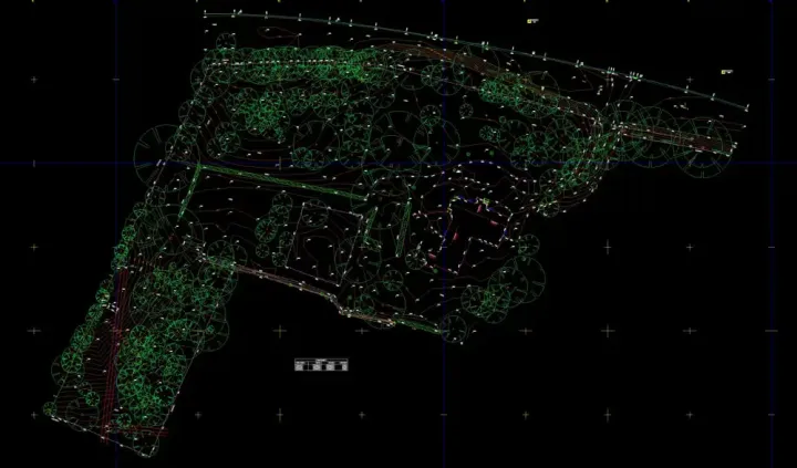
Our suite of services utilizes the latest in digital capture technology to provide a detailed, "real-world" blueprint of your site
How We Can Help
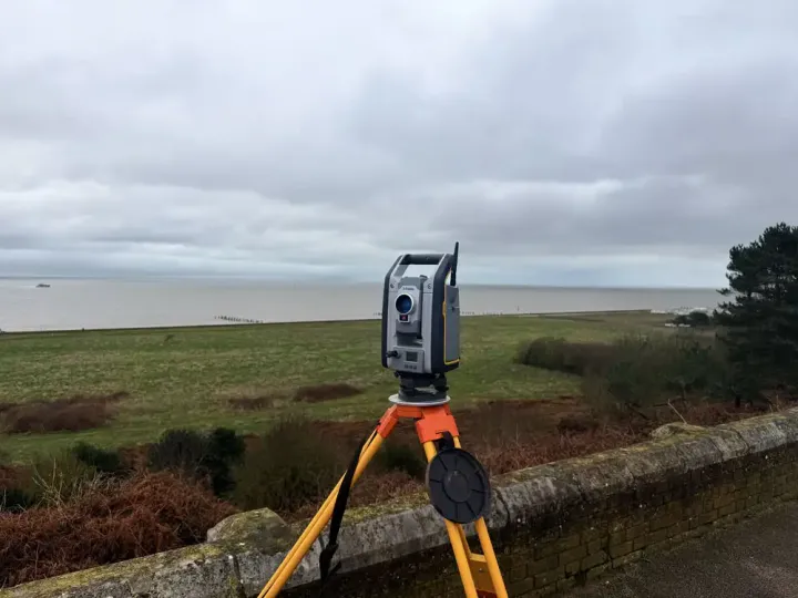
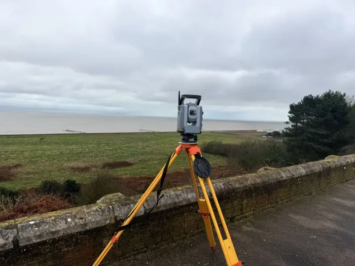
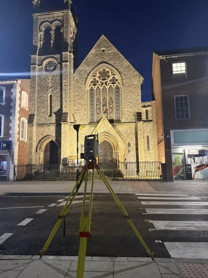
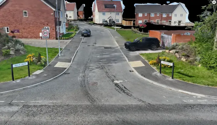
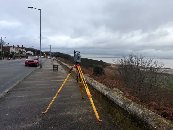
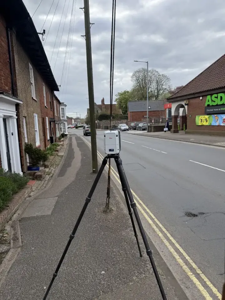
Topographical Land Surveying & Laser Scanning
Capturing every detail with millimetre precision.
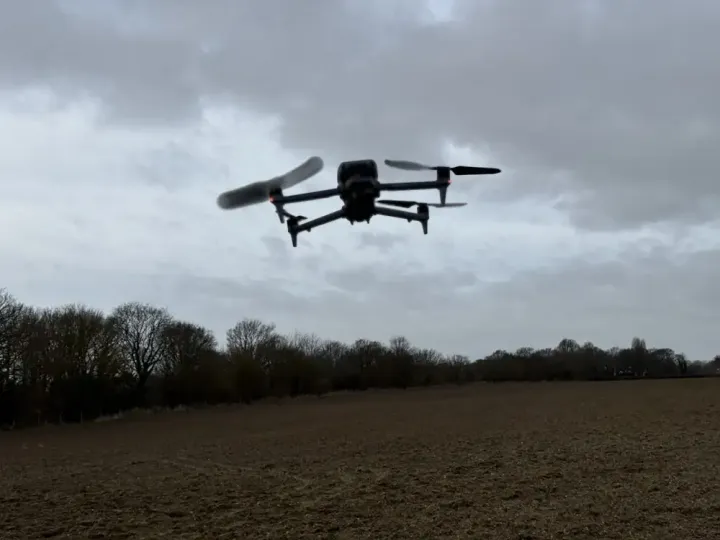
Drone Surveying & Aerial Inspection
High-resolution data for hard-to-reach areas.
Measured Building Surveys (MBS)
Detailed Floor Plans, Elevations, and Sections.
Orthographic Projections
Photorealistic Elevations.
Site Setting Out
Transferring whats designed on CAD to the Real world.
Boundary Disputes
Accurately plot boundaries, using the latest Land Registry Poloygons.